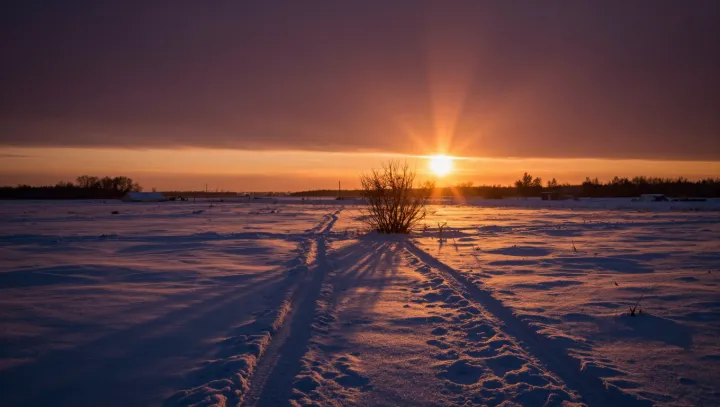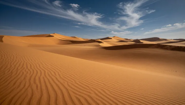
Sand hides better memories than stone. Beneath the Sahara’s dunes, cores of mud and pollen whisper of a drowned green past, when this apparent wasteland held water, grass and permanent lakes. Drill rigs and satellite sensors have mapped buried river channels, shorelines and basins, turning a supposed dead zone into one of Earth’s most dynamic climate archives.
The bold claim is simple: this desert once behaved like a wet savanna. Geochemists reading stable oxygen isotopes in lake sediments see signatures of sustained rainfall, while fossil hippo and crocodile bones mark former river banks and marshes. Climate modelers link that humid phase to shifts in orbital precession and changes in insolation, which strengthened the African monsoon and pushed rain belts far north of their present track.
What matters is that people followed the water. Archaeological surveys reveal stone tools, pottery and burial grounds aligned with extinct shorelines, suggesting mobile communities tracking seasonal floods across what is now bare erg. As the monsoon weakened and atmospheric circulation reorganized, those lakes retreated, dust emissions increased, and human groups were forced toward the Nile and other more reliable refuges.