
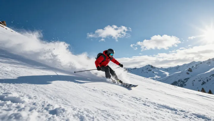
Powder this light has no business forming above salt water. Yet a small Korean island, unnamed on most ski maps, quietly produces snow that skiers usually chase in distant mountains. Here, geography behaves like an engineer, aligning air, sea and topography into a repeatable powder machine.
Central to the trick is wind direction, not altitude. When frigid continental air races across relatively warm coastal water, strong sensible heat flux and latent heat flux pump moisture and buoyancy into the lower troposphere, priming convective clouds in narrow bands that lock onto the island’s footprint. Short fetch, sharp alignment, sudden lift over low hills, then snow. Dry snow.
The surprise is how dry it stays so close to the ocean. Because the air mass starts extremely cold and already undersaturated, its specific humidity remains low even after moisture uptake, so snow crystals grow as classic dendrites with high surface area and minimal riming. Microphysics does the rest: low liquid water content, high snow-to-water ratio, and limited compaction under wind shear turn each squall into a floating cushion rather than a soggy crust.
Rival alpine resorts rely on altitude and expansive basins. This island relies on precision: just the right wind vector, just the right sea-surface temperature gradient, just the right orographic bump to wring out bands of sea-effect snowfall. When the alignment snaps into place, the result underfoot feels improbably familiar to skiers who thought such powder only lived far inland.