Gravity exposes what photographs cannot. Although an image can show a glacier retreating, satellites measuring Earth's gravitational field can detect how much mass an ice sheet loses, including changes that escape a camera's view. Missing ice pulls less. That difference allows satellite gravimetry to track the depletion of enormous frozen reservoirs without relying on sunlight or clear skies.
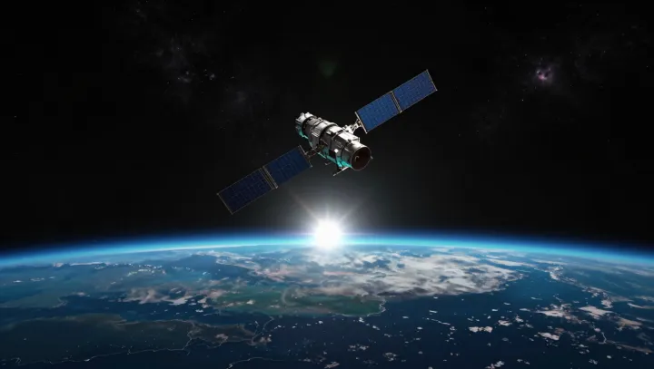
Distance becomes a weighing instrument. On the GRACE Follow-On mission, two satellites follow one another around Earth, where variations in gravitational acceleration cause their separation to stretch and shrink as they pass over unevenly distributed mass. Neither spacecraft weighs ice directly. Instead, microwave ranging and laser interferometry measure changes in separation, which researchers use to reconstruct changes in the gravitational field across broad regions. The calculation needs careful subtraction. Atmospheric pressure, ocean movements and water stored on land also change gravity, so researchers account for those contributions before attributing a regional mass change to disappearing ice.
The interpretation demands some humility. Beneath former ice sheets, rock continues to rise through glacial isostatic adjustment, a slow response to vanished loads that also changes gravity and must be separated from current ice loss. Spatial resolution imposes limits. Because these measurements describe broad areas rather than individual crevasses, researchers combine them with radar and laser altimetry to compare changes in mass with changes in surface height. The distinction matters at coastlines. Ice lost from land adds water to the ocean, while its disappearance also redistributes Earth's gravitational pull, leaving an uneven signature in sea level. The coast inherits that absence.