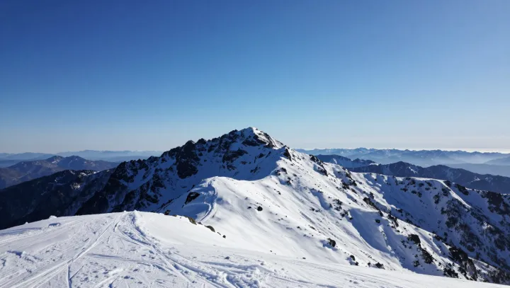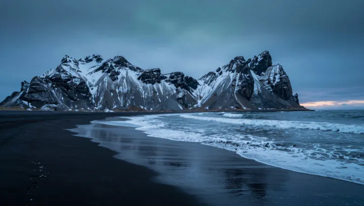
A single ribbon of asphalt circles a North Atlantic island and behaves like a geological highlight reel. Within a few hours of driving, the landscape flips from steaming craters to glassy glaciers, from black lava fields to pale-blue ice caves.
The explanation is geography stacked on overdrive. Sitting on the Mid-Atlantic Ridge and over a volcanic hotspot, Iceland lives with constant plate tectonics and magma upwelling, which build active volcanoes and lava plains almost within sight of coastal towns. At higher elevations, cold air, persistent katabatic winds and relatively low solar input preserve massive ice caps that carve caves of compressed, blue ice. That same high latitude tilts the daylight experience. In summer, axial tilt stretches daylight into what visitors call the midnight sun, with the sky holding a slow, horizontal glow long past normal dusk. When winter darkness returns, the island’s position beneath the auroral oval turns charged solar particles and Earth’s magnetosphere into regular northern lights shows.
Because all of this sits on a landmass smaller than a mid-sized American state and tied together by one main highway, travelers do not need multiple flights or long transfers to sample the extremes. A compact driving loop becomes a tour through volcanology, glaciology and atmospheric physics, compressed into a single, improbable itinerary.