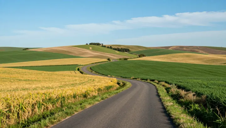
A single mountain road on Gran Canaria climbs from cool, resin‑scented pine stands into bare, rust‑colored volcanic badlands in just a few bends. The island’s highest peak sits at a crossroads of air, rock and altitude that compresses an entire climate gradient into a short horizontal distance.
Moist maritime air hits the massif and is forced upward, a process known as orographic lift. As air rises it cools, pushing water vapor to condensation and cloud formation. This boosts local precipitation, soil moisture and evapotranspiration, allowing Canary Island pine forest to occupy slopes that feel almost alpine in temperature and humidity, despite the subtropical latitude and strong solar radiation.
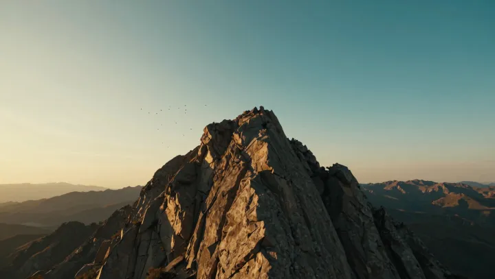
Just beyond the crest, the same peak casts a rain shadow. Descending air warms adiabatically, lowering relative humidity and suppressing cloud cover. The energy balance shifts toward intense insolation, higher surface albedo contrasts and rapid evaporation. Thin, porous volcanic regolith and fragmented lava flows offer little water retention, so plant cover thins and eroded gullies, ash fields and dark basalt outcrops dominate, creating the sun‑baked badland scene.
Steep altitudinal zonation does the rest. A large change in temperature, vapor pressure deficit and wind exposure is packed into a narrow band of switchbacks, tightening ecological niches. Within a short drive, species composition, fire regimes and soil formation processes flip, turning the summit area into a compact laboratory of island microclimates and volcanic geomorphology.