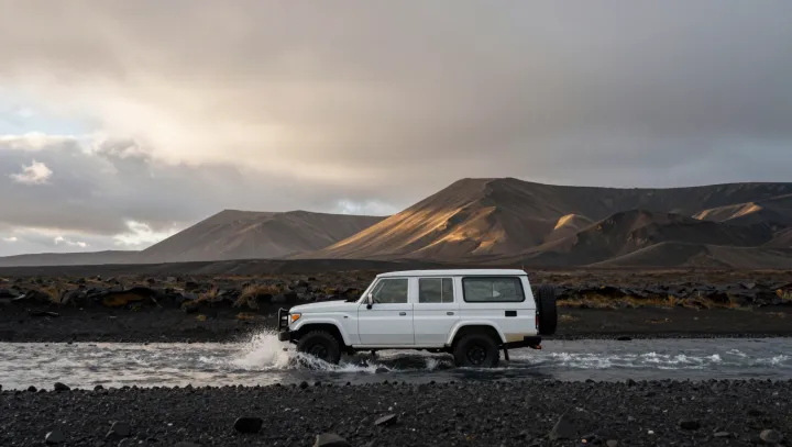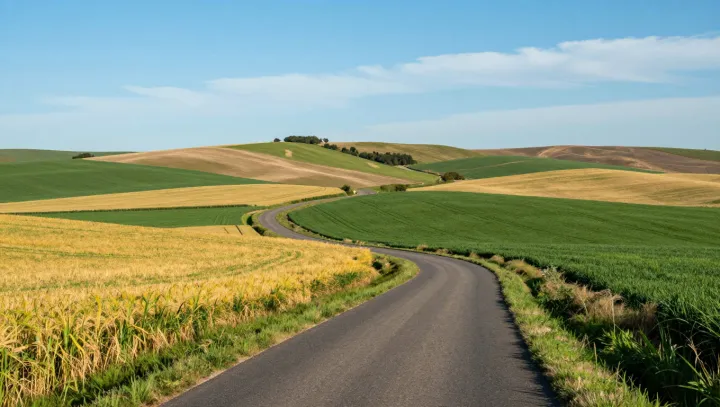
A wide, almost featureless grassland at the edge of Siberia operated as one of Eurasia’s busiest corridors for people, animals and goods. What looks like empty space on a satellite map in fact concentrated movement, power and exchange across thousands of kilometers.
Archaeological surveys reveal dense clusters of burial mounds, horse gear and metalwork along narrow ecological bands where pasture, water and shelter align. These routes minimized transport friction: wagons rolled over firm soils, herds could maintain energy balance, and riders could cover long distances without exhausting grazing. In economic terms, the landscape offered a natural marginal gain in speed and capacity compared with forests, mountains or deserts, turning the steppe into a comparative-advantage corridor for mobility.
Pastoral nomadism, with its reliance on horse traction and mobile herds, matched the geometry of this open terrain. Once political confederations gained control over key river crossings and seasonal camps, they could levy tribute, protect caravans and project force along the same tracks. Isotopic analysis of animal bones and metallurgical studies of artifacts now trace flows of grain, textiles and ores that moved far beyond local horizons, linking steppe polities with agrarian kingdoms to the south and west.
Rather than a void between civilizations, the Siberian frontier steppe functioned as connective tissue: a low-entropy zone where movement organized itself into stable routes, and where empires rose by mastering the physics and economics of open grassland.