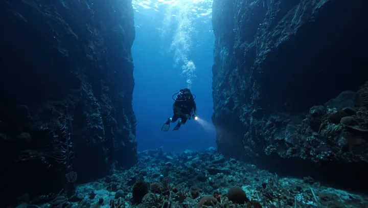
Total darkness, not high tech, gives cave maps their uncanny accuracy. Where gadgets would fail, simple geometry and patient measurement quietly win. A thin guideline becomes the cave’s spine, laid meter by measured meter, each tie‑off a fixed survey station against the rock.
Surprisingly, the map is born from angles, not from pretty sonar images. From each station, divers log azimuth with a magnetic compass and inclination with a tilt gauge, while distance comes off a calibrated tape or digital survey reel; together these polar coordinates feed standard trilateration and dead‑reckoning algorithms back on the surface. Short notes on ceiling height, passage width and depth anchor those numbers to speleology, turning raw coordinates into structure instead of guesswork.
The real trick, though, is admitting that water is a noisy medium and treating physics as both enemy and ally. Turbidity, refraction and silt clouds are controlled with strict finning techniques so the light beam stays a clean measuring rod, while buoyancy control and hydrostatic pressure awareness keep instruments stable enough for repeatable readings. Later, survey software folds all these imperfect vectors into a three dimensional model, revealing that the most precise images of these hidden systems were sketched first by hand, in the dark.