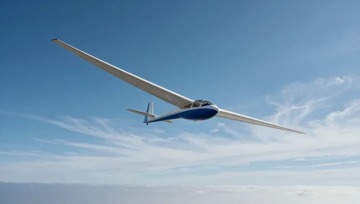
Sunlit fields start the trade. A sailplane enters a thermal, the buoyant column created when uneven ground heating warms air faster than nearby air, and circles tightly enough to convert that rising mass into stored height. No engine intervenes. Each turn exchanges invisible vertical motion for altitude, which can later be spent on distance.
This is aviation stripped bare. A variometer acts like a live network monitor, but the signal it reads is vertical airspeed, a measure governed by atmospheric convection rather than any digital command. The dial tells no lies. A thermal is not a smooth elevator; it is a broken, rotating plume whose strongest core pilots locate through repeated bank adjustments. Cumulus can mislead. The cloud may mark moisture carried upward, yet usable lift sits below it, shifts with wind, and can collapse before a circuit ends.
Distance is earned, not granted. A high lift-to-drag ratio lets a sailplane spend altitude slowly between sources of lift, while ridge lift forms where wind meets a slope and wave lift develops downwind of mountains in stable air. The route stays conditional. Pilots read sun, cloud streets, and changing sink, making decisions that resemble energy management more than sightseeing. The air writes the route. As sensors fuse thermal maps, variometer data, and control loops, unpowered flight could become a test bed for aircraft that harvest atmospheric energy with the patience of software waiting for spare processor cycles.