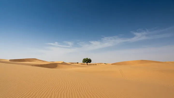
Bone-dry sand today sits on the footprint of a drowned landscape in the Rub’ al Khali. Radar surveys, seismic profiles and sediment cores show stacked layers of lake muds and river gravels sealed beneath migrating dunes, turning this desert into a fossil archive of vanished surface water.
The explanation lies in orbital forcing and atmospheric circulation, not in any local miracle. When Earth’s precession and obliquity altered insolation, the regional Hadley cell and monsoon belt shifted. Periods of stronger summer monsoon delivered sustained precipitation and surface runoff into shallow basins. Fluvial erosion carved channels, while lakes formed where evaporation stayed below inflow. Calcium carbonate and diatom-rich layers in cores, together with paleoecology indicators such as pollen spectra, document these wetter intervals.
As large-scale circulation later reorganized, descending air strengthened, potential evapotranspiration outpaced rainfall, and the hydrological budget flipped. Surface rivers dried, but infiltrated water remained trapped as confined aquifers beneath low-permeability sediments. Aeolian transport then buried the old channels under thick dune fields, preserving paleosols and shoreline features. The result is a hyper-arid desert whose subsurface stratigraphy still records a radically different climate regime.