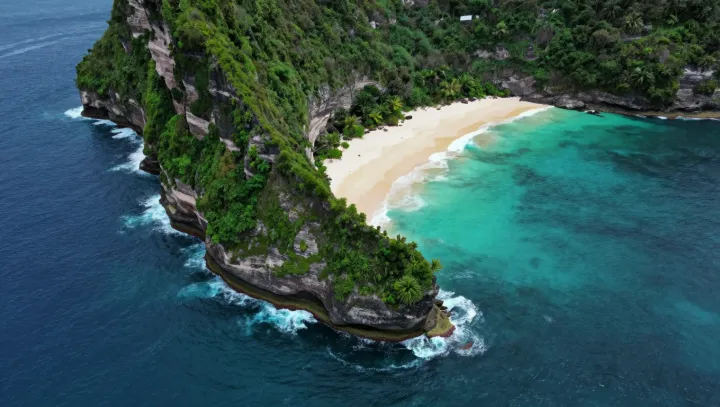
From the air, the crescent island looks fragile. Beneath it, nothing is gentle. Incoming waves meet a jagged arc of coral limestone, where hydrodynamics and friction turn raw storm energy into spray, heat and broken turbulence before it can reach shore.
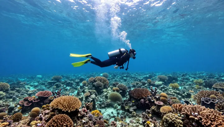
This is not scenery; it is infrastructure. Wave‑tank experiments and field sensors show that healthy reef crests can strip as much as two thirds of incident wave energy, so the swells that finally touch those white beaches arrive smaller, slower, already disarmed. The key is geometry: shallow reef flats force waves to break early, while the rough coral surface increases bottom drag, a textbook case of energy dissipation in a boundary layer rather than on the sand itself.
The uncomfortable truth is that the island’s defense budget sits underwater. Where coral cover declines, models based on spectral wave transformation and coastal erosion rates predict several times more impact on the shoreline for the same storm. Sand is scoured away. Beach profiles flatten. Insurance models quietly register higher risk, even as tourist brochures still sell the same turquoise curve of coast.
Seen from above, then, the crescent is misleading. The real shape that matters is the submerged rim of living rock, still holding the line for now between postcard beauty and a bare, unprotected strip of sand.