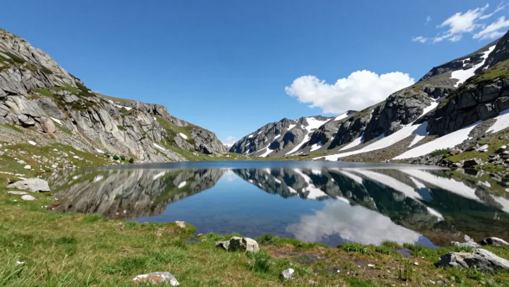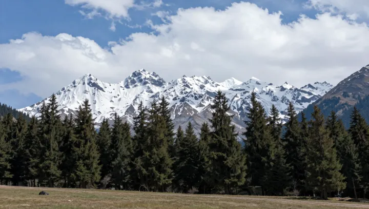
Emerald grasslands and mirror‑like lakes in Xinjiang exist because the desert is only half the story. Above the sand, high mountain chains act as atmospheric dams, forcing moist air to rise, cool and release water as orographic precipitation that never reaches the surrounding lowlands.
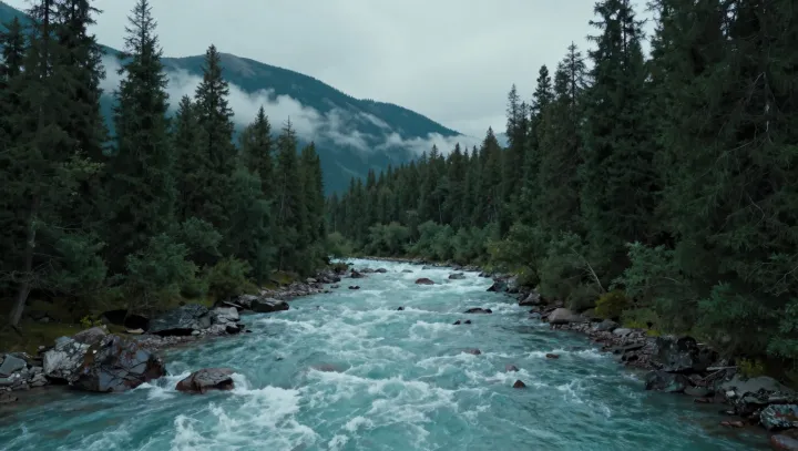
Those ranges store water as snowpack and glaciers, turning them into slow‑release reservoirs. Through ablation and seasonal melt, they feed rivers that carve through otherwise arid basins, creating ribbons of groundwater recharge and surface ponds where vegetation can tap stable soil moisture. Hydrologists often describe these systems as natural buffers in the regional water budget, offsetting the high potential evapotranspiration that defines the broader desert.
Many of Xinjiang’s lakes sit in endorheic basins, closed hydrological loops with no outlet to the ocean. Runoff and meltwater flow in, but only evaporation takes water out, leaving behind dissolved minerals and a relatively constant water table. That stable water level supports dense root mats, alpine meadows and wetland mosaics along shorelines. The contrast between bare dunes and saturated pastures is not a contradiction; it is a function of altitude gradients, basin geometry and the way the hydrological cycle redistributes limited moisture across the landscape.