
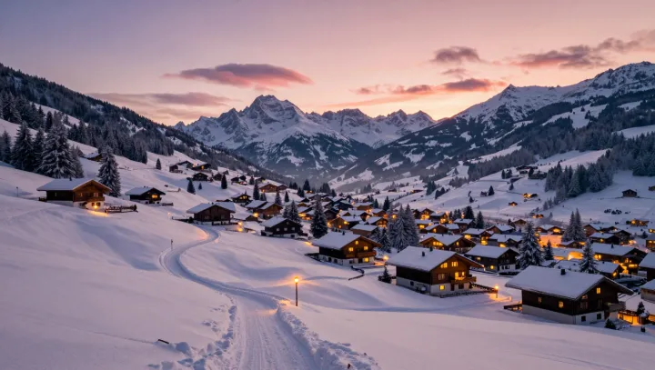
Snowfields, not survey maps, appear to have drawn many mountain villages. Rooflines tilt just below historic slide paths, while main streets sit on ridges or buried bedrock where avalanche impact pressure weakens. This pattern looks designed by an engineer with contour software, yet it grew from generations of watching where snow moved and, more importantly, where it stopped.
The blunt truth is that error came first, safety later. Over time, houses destroyed by slab avalanches or buried by snow creep were not rebuilt on the same alignments, and that repeated pruning created a de facto hazard model. Oral rules did the rest: never build under that cornice; keep barns in the shadow, keep kitchens where winter sun can reach. Those sayings encode concepts like shear stress, runout distance and solar azimuth without naming them.
Even the twist of a lane is rarely random. A slight bend that tracks a contour can reduce downslope wind loading on roofs and keep snow transport predictable, a crude control of boundary‑layer flow. Terraces and retaining walls act as small deflection berms, limiting avalanche energy much as modern engineers describe with kinetic energy dissipation. What looks like picturesque disorder is, in practice, a slow, collective experiment in micro‑climate and snow physics, copied one building at a time.