
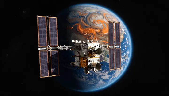
That lonely dot over the glowing edge of Earth is, in practice, a global control room. From low orbit, a single spacecraft sweeps thousands of kilometers in minutes, its sensors staring sideways through the thin shell of atmosphere that hugs the horizon and into the electromagnetic noise pouring off oceans and cities.
The blunt truth is that storms look bigger, cleaner and earlier from there. Infrared radiometers map cloud‑top temperatures, while microwave sounders probe water vapor fields that radar on the ground cannot see beyond a limited line of sight. With each orbit, data assimilation engines feed these measurements into numerical weather prediction models, sharpening track forecasts for hurricanes and other severe systems long before many coastal instruments register the full structure.
Even more counterintuitive is how that same vantage point hears our technology better than we do. Radio occultation payloads watch signals from navigation satellites bend through the ionosphere and troposphere, extracting profiles of refractive index that expose turbulent layers disrupting communications. Wideband receivers log surges and gaps in broadcast traffic; when a power grid fails, its vanished carrier waves and altered geomagnetic fingerprints, measured by onboard magnetometers, betray a blackout in near real time across an entire region.
The harsh verdict for ground observers is simple. They see detail, but only where instruments already exist and only up to the horizon; the satellite, racing along its orbit, stitches those islands of awareness into a continuous strip map of weather dynamics, signal integrity and electrical infrastructure health, every pass a fresh audit of a planet that rarely looks up.